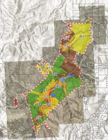
City Zoning Map
In March of 2023, the Deadwood Zoning Office began developing an updated online interactive Zoning Map. It shows how the community is divided into different use districts or zones. Zoning districts common to most ordinances include Residential, Multi-Family Residential, Commercial, Commercial Highway, Planned Unit Development, Public Use, and Park Forest. The zoning map shows precise boundaries for each district.
Below are links you may find useful to answer your zoning questions:
- Residential Zoning District Ordinance
- Residential Multi-Family Zoning Distirct Ordinance
- Commercial Zoning District Ordinance
- Commercial Highway Zoning District Ordinance

